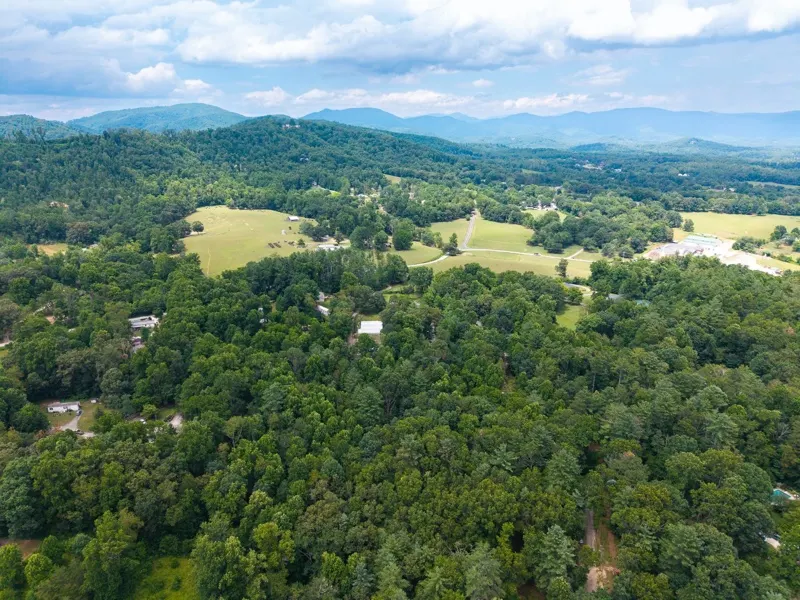
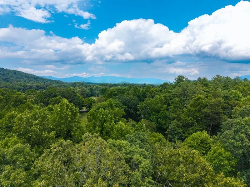
Aerial photo of wooded land, pastures and the Blue Ridge Mountains in Western North Carolina
VACANT LAND · ASHEVILLE & WESTERN NC

Vacant land photos
that show the whole lot.
From $225.

Drone and ground photos with approximate property lines, edited the next day. Book online in a minute.

Everything a land listing needs.

WHAT’S INCLUDED
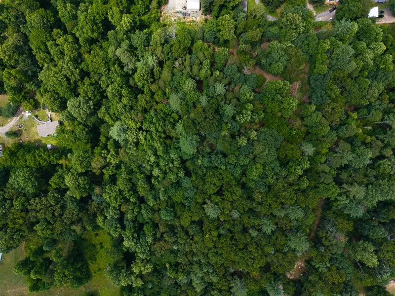
Aerial drone photosThe shape of the lot, the views and what’s around it.
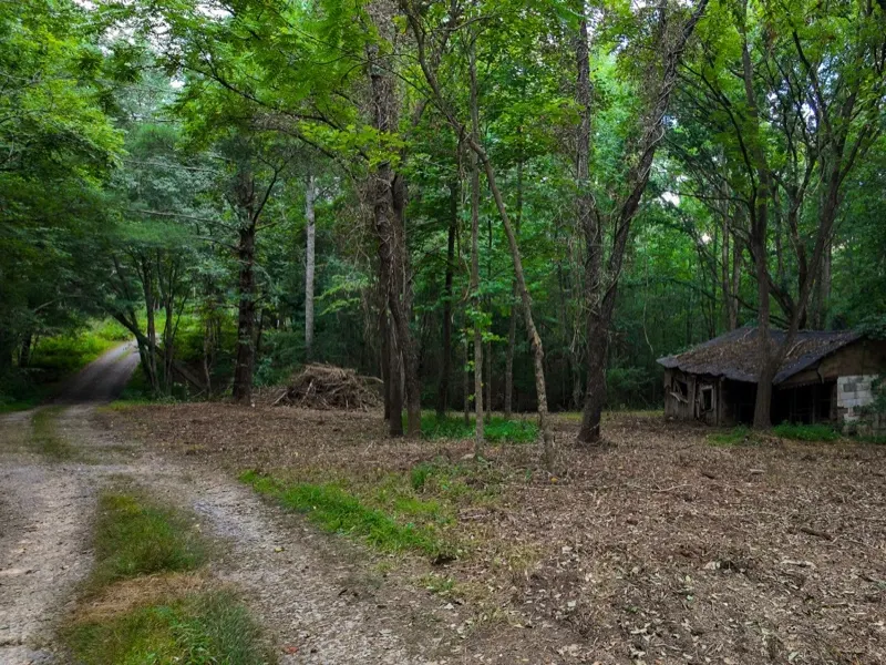
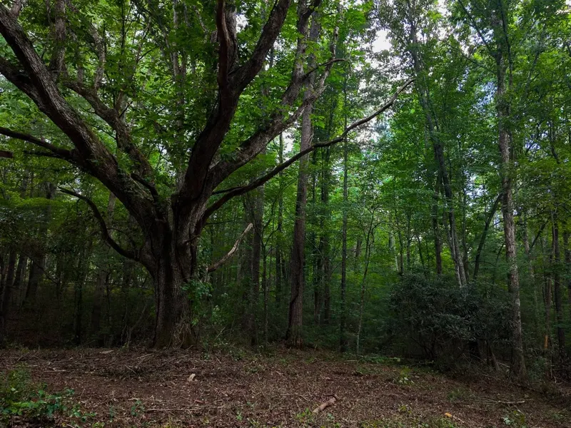
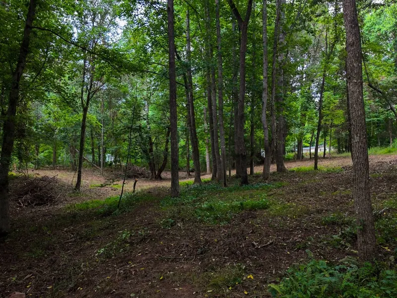
Ground photosThe access road, building spots and the best features up close.
Approximate property linesDrawn on the aerials from the county GIS map or your plat.
Drone video optional60–90 seconds of the lot and its surroundings, +$200.
PRICING

One price by lot size.

Pay now or after delivery.
No travel fee within 40 miles of Candler.

Up to 20 acres
$225
  • Aerial drone photos
  • Ground photos
  • Approximate property lines
  • Edited next day
Book up to 20 acres
20–50 acres
$275
  • Aerial drone photos
  • Ground photos
  • Approximate property lines
  • Edited next day
Book 20–50 acres
Over 50 acres
Custom quote
  • Same photos and property lines
  • Priced for the size and access
Call or text

Add a drone video (60–90 sec) to any lot: +$200.

From recent land shoots

Book vacant land →
Drone photo of a wooded lot with the approximate property line drawn on it
Aerial view over the treetops toward the Blue Ridge Mountains
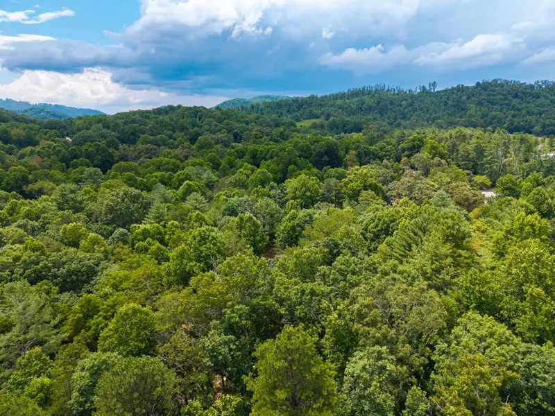
Drone photo over the tree canopy of a wooded lot in Western North Carolina
Gravel access road and an old cabin on a wooded lot
A large old oak on a cleared section of a wooded lot
Cleared building area among tall trees on a vacant lot

Questions about land shoots

What’s included?

Aerial drone photos of the lot, its shape and surroundings, ground photos of the access and the best spots, and approximate property lines drawn on the aerials. Fully edited and delivered the next day.

How accurate are the property lines?

They are drawn from the county GIS map, or from your plat or survey if you send it, and labeled “approximate”. They’re a marketing visual, not a survey.

Can you add a drone video?

Yes: a 60–90 second aerial video of the lot and its surroundings for $200, delivered in 2 days.

My land is over 50 acres

Call or text (828) 767-2422 and we’ll quote it individually.

What if the weather is bad?

Drone photos need decent weather. If rain makes the flight impossible, we reschedule for free, always.

Is there a travel fee?

No travel fee within 40 miles of Candler. Farther out, the fee is calculated from the address and shown before you book.

When do I pay?

Your choice: pay when you book, or save your card, see the photos first and pay when you approve them.

Have a lot to list?

Book online in a minute, or call or text me with questions.